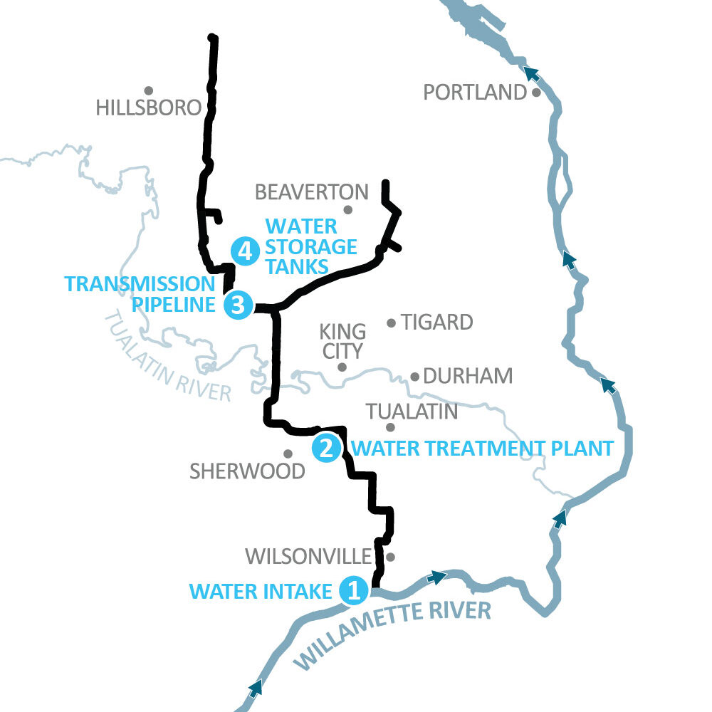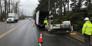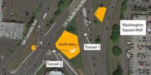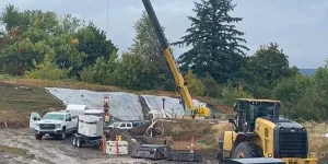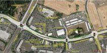
This map update reflects changes to the Scholls Area Pipeline Project north section (PLM_5.3).
Hillsboro Water Department has planned years in advance to ensure there is plentiful drinking water today, tomorrow, and in the future for the community.
While Hillsboro’s sole water supply source is the upper-Tualatin River, projections show by 2026 that Hillsboro’s water needs will significantly increase.
To meet future drinking water demand, the City of Hillsboro, Tualatin Valley Water District, and City of Beaverton are partnering to develop the mid-Willamette River at Wilsonville as an additional water supply source.
Design and construction of the new Willamette Water Supply System (WWSS) is underway, and includes building:
- A modified water intake on the Willamette River at Wilsonville.
- A state-of-the-art water filtration facility near Tualatin/Sherwood.
- Water supply tanks in Beaverton.
- More than 30 miles of large diameter transmission water pipeline traveling north from Wilsonville, through Beaverton, and into Hillsboro.
The system is designed to withstand the impacts of a large earthquake or other natural disaster, and will be built to modern seismic standards to help restore service quickly after a catastrophic event.
Recently, the WWSS system map was updated to show the latest pipeline route and better reflect the timelines for each project. Specifically, the map shows two areas where the preferred pipeline alignment has been refined through design:
- This map update reflects changes to the Scholls Area Pipeline Project north section (PLM_5.3). Analysis of the preliminary design alignment along Clark Hill and Farmington roads identified significant seismic risks. The updated alignment was selected after several alternative alignments were analyzed for seismic stability, environmental and community impacts, construction feasibility, and opportunities to partner or coordinate with Washington County.
- This map update also reflects changes to the previous alignment for the Beaverton Area Pipeline Project (PLE_1.0). This alignment was revised and renamed to the Metzger Pipeline East Project (MPE_1.0), after studies concluded the Metzger alignment provides cost efficiency and reduces construction and environmental impacts compared to the original route.
No changes were made to the alignment through Hillsboro, which includes approximately six miles of pipe along the current and future Cornelius Pass Road from the Sunset Highway on the north to Rosedale Road on the south.
The latest map and schedule – updated regularly – can be located online.

